Is there any way I can make the Y-Axis list of regions completely visible? The identification of the areas is always cut and makes it difficult to identify each region without using the mouse.
This is what I'm refering to:
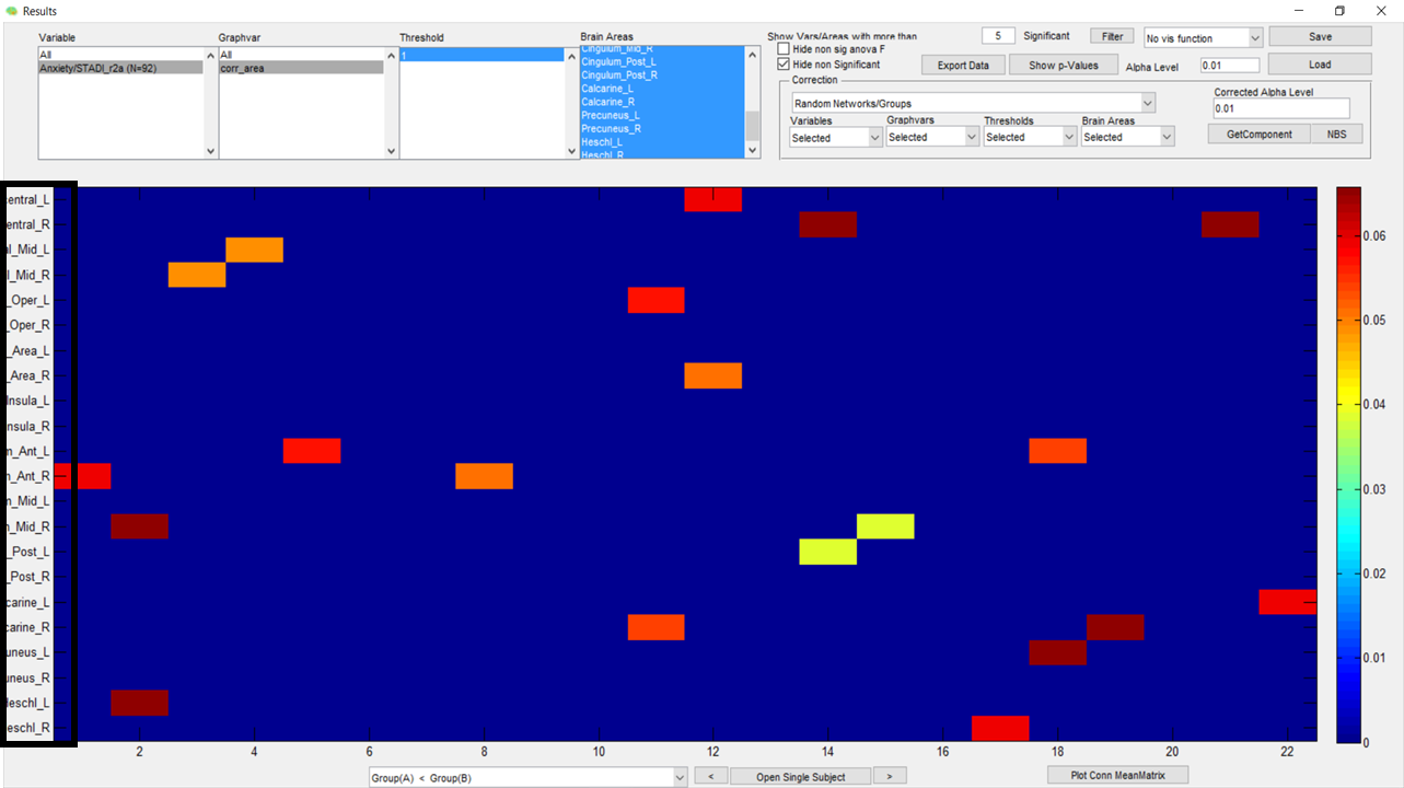
Secondly, can I alter the information on the X-Axis so that, instead of listing the areas as numericals entities only (from 1 to 22 in this case), I can identify them with their specific number on the atlas I'm using? (In this case, the AAL116)
Thank you for your help.
Forums